
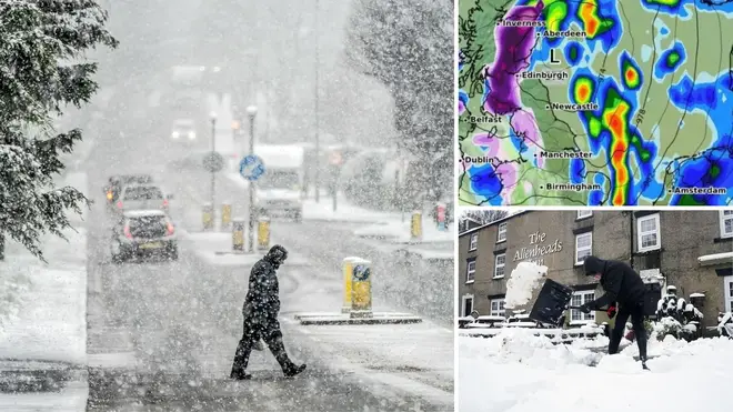
Snow returns: UK to be hit by wintry weather amid freezing temperatures next week - see full list of locations affected
17 February 2024, 15:05 | Updated: 17 February 2024, 15:09


New weather maps have revealed the places that could be hit by snow in the coming week.
Listen to this article
Loading audio...
Brits are set for a washout this weekend with yellow warnings for heavy rain in place in parts of the country on Saturday and Sunday, according to the Met Office, but the tides could change next week.
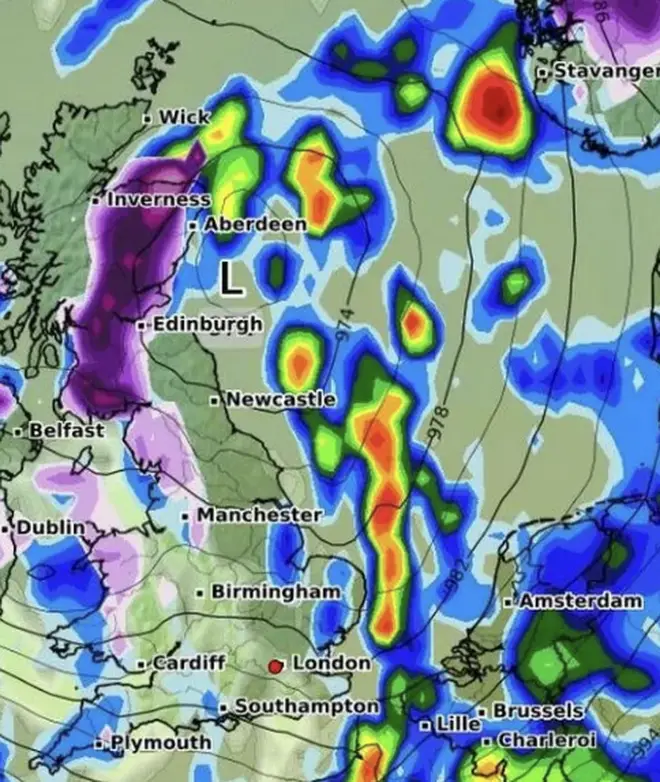
Forecaster WXCharts has shown that the weather could bring in flurries of snow on February 22 and 23 in parts of the country.
The snow is forecast to arrive in parts of northeastern Wales, the North East and vast ground in Scotland.
Initially, the snowfall is predicted to be light when it first arrives on Thursday but could turn heavier throughout the day.
The flakes could show up north in Manchester, carrying into the North West and along through to the Scottish border - with Blackpool and Lancaster among the areas potentially affected.
In Wales, Aberystwyth, Newton, Llangollen, parts of Snowdonia and up to Colwyn Bay are the areas that may see snow.
The worst snow is expected in Scotland, however, which is expected in Dumfries, Castle Douglas, as well as Glasgow, Stirling, Dundee and Aberdeen.
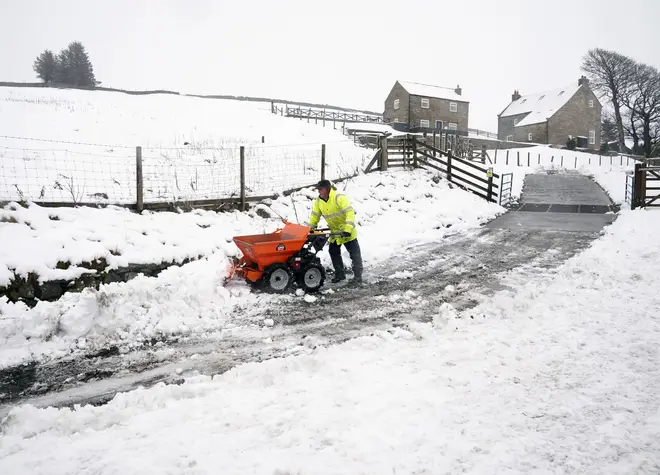
The snow will likely subside in some of these areas on Friday, but could settle in areas around the Lake District.
Areas that could see snow this week
February 22
- Bannau Brycheiniog National Park
- Parts of central and northwest Wales including Aberystwyth, Newton, Llangollen into Snowdonia and up to Colwyn Bay
- Manchester
- Parts of north west Wales, up across the Peak District and up to the Scottish border
- Dumfries, Castle Douglas, up north to Glasgow, then moving to the north east of Scotland covering Stirling, Dundee, and Aberdeen
February 23
- Towns and villages around the Peak District
- Parts of north west Wales
- Western coast of Scotland
What does the Met Office say?
February 19 - 21
“Showery rain pushing southeastwards on Monday followed by showers in the north. Further rain in the north overnight Tuesday sinking southwards. Unsettled for many on Wednesday. Staying fairly mild,” the forecaster says.
In a long-range forecast between 21 February - 1 March, it says: “Most likely wet and mild in the south to start Wednesday with a brighter but cooler start in northern areas before rain moves in from the west for all.
“Conditions turn unsettled with northwest winds carrying showery conditions over the British Isles from Thursday with clearer conditions in the east through the remainder of the week, returning the UK to more average temperatures for the time of year, though sometimes cooler in northwest areas.
“From Saturday conditions expected to remain unsettled with occasional bands of rain or showers, heaviest rainfall affecting the northwest, although most areas likely to see some rainfall. Occasional strong winds especially in north-western areas, with more settled conditions across the south and east where driest and brightest conditions more likely.”